hikingTuristika - The Stanserhorn / 12km zostup / Garminy sa zblaznili
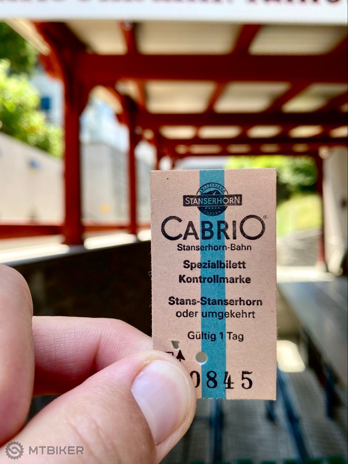
The Stanserhorn is a mountain in Switzerland, located in the canton of Nidwalden near the border with Obwalden, with the peak at 1,898 metres (6,227 ft) above sea level.


trending_up
Vzdialenosť
150 km
schedule
Čas
02:31:45
landscape
Nastúpané
19,0 m
bar_chartŠtatistiky
| Priemer | Max | |
|---|---|---|
| Rýchlosť | 59,3 km/h | 378,7 km/h |
| Kadencia | 57 rpm | - |
| Tepová frekvencia | 106 bpm | 145 bpm |
| Energetický výdaj | 925 kcal |
directions_bike Posledné aktivity bikera
directions_walk Luzern flakacka
trending_up
6,3 km
schedule
01:51:33
landscape
49 m
directions_walk Na medove piveckaaa
trending_up
12,1 km
schedule
02:34:50
landscape
269 m
Momentálne sa tu nenachádzajú žiadne komentáre